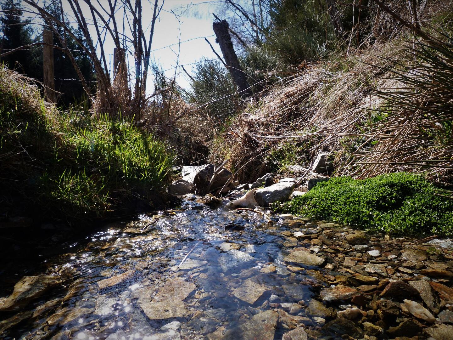
Sources du Lot et Goulet
Natural
in Le Bleymard, Mont Lozère et Goulet
20.2
km
Loop
Walking/pedestrian
6h 30min
Hard
- Departure
- Mont Lozère et Goulet
-
-
Difference in height
- 539.734 m
-
-
-
Documentation
- GPX / KML files allow you to export the trail of your hike to your GPS (or other navigation tool)
-
- See all reviews
- 540 meters of difference in height
-
- Maximum altitude : 1485 m
- Minimum altitude : 1052 m
- Total positive elevation : 540 m
- Total negative elevation : -545 m
- Max positive elevation : 174 m
- Min positive elevation : -286 m
