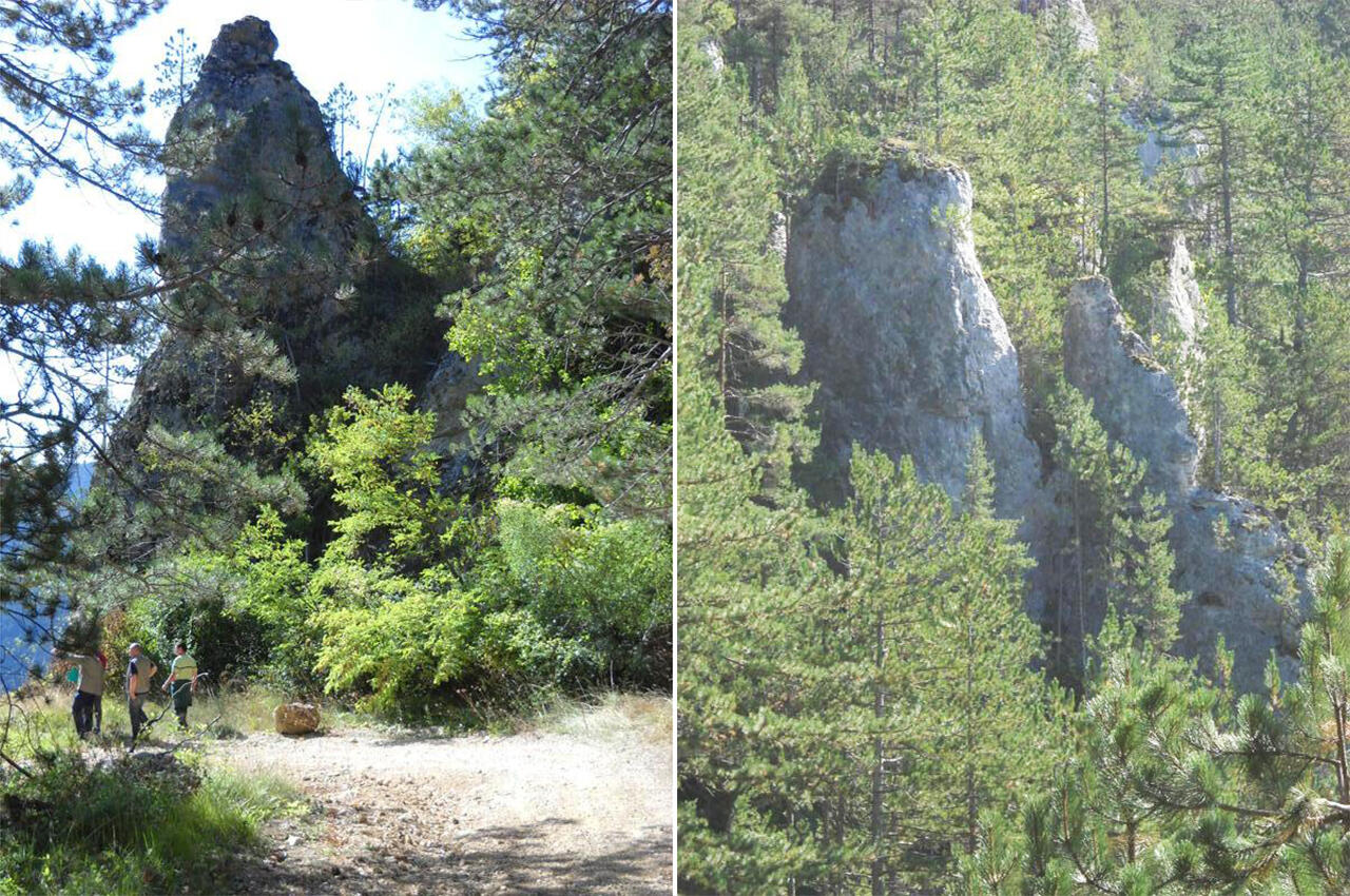
Le Rocher de Moïse
Cultural, Natural, Walks and hikes, Walking/pedestrian
in Mende
9.8
km
Loop
Walking/pedestrian
3h
Medium
-
Walking and Hiking Trail No. 6 in the Heart of Lozère.
-
This route takes you to the Causse de Mende via the Hermitage Saint-Privat ; from where the panorama over Mende is remarkable. The path under the cover of the Mende national forest will bring you back, via the Rocher de Moïse and a path overlooking the Lot, to the Place du Foirail, your starting and finishing point. Markings : yellow. Download the details of the route (route, elevation, explanations, step by step, etc.) in PDF format
- Departure
- Mende
-
-
Difference in height
- 538 m
-
-
-
Documentation
- GPX / KML files allow you to export the trail of your hike to your GPS (or other navigation tool)
-
- See all reviews
- 538 meters of difference in height
-
- Maximum altitude : 1061 m
- Minimum altitude : 746 m
- Total positive elevation : 538 m
- Total negative elevation : -538 m
- Max positive elevation : 139 m
- Min positive elevation : -59 m
Services
-
-
Services
-
