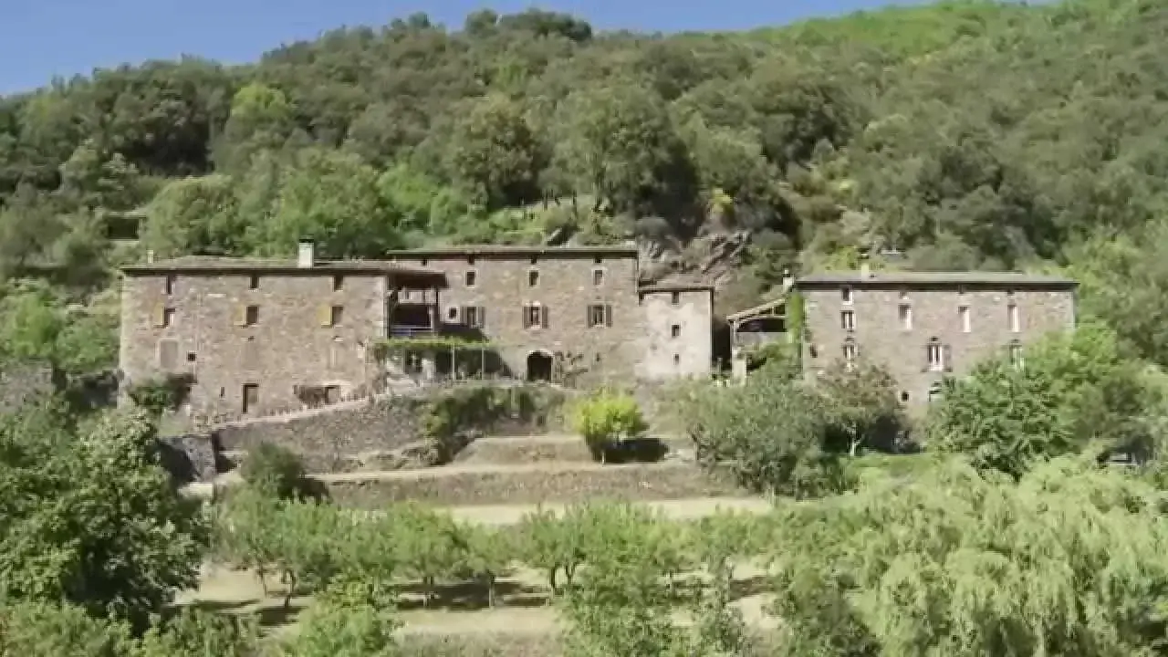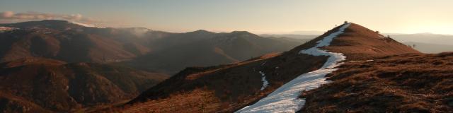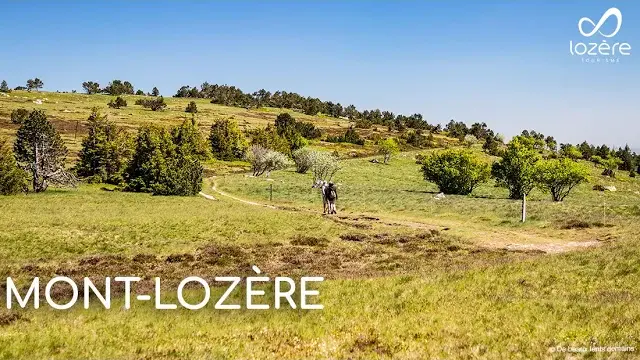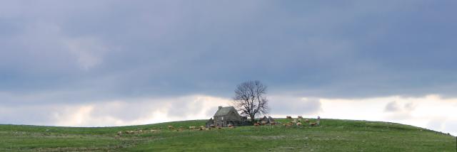

The Cévennes![]() © Lozere Tourisme
© Lozere Tourisme
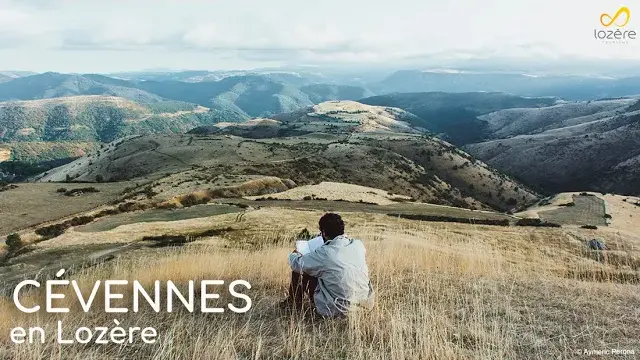
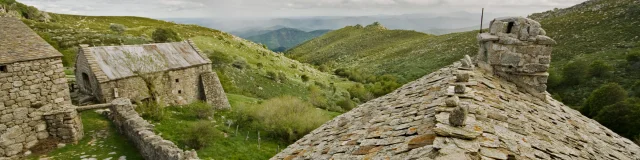
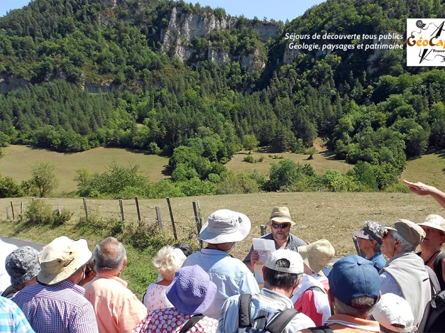
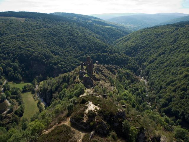
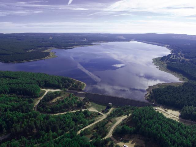
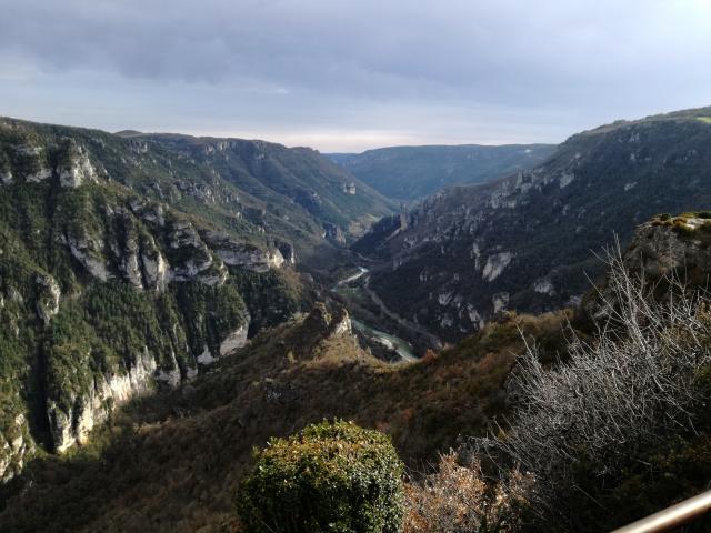
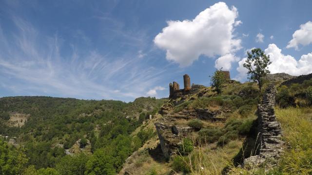
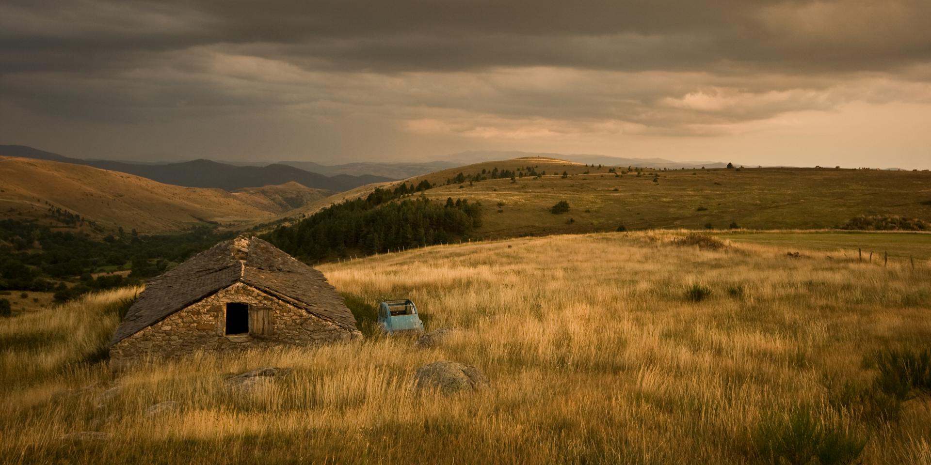
The Cévennes massif
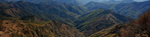
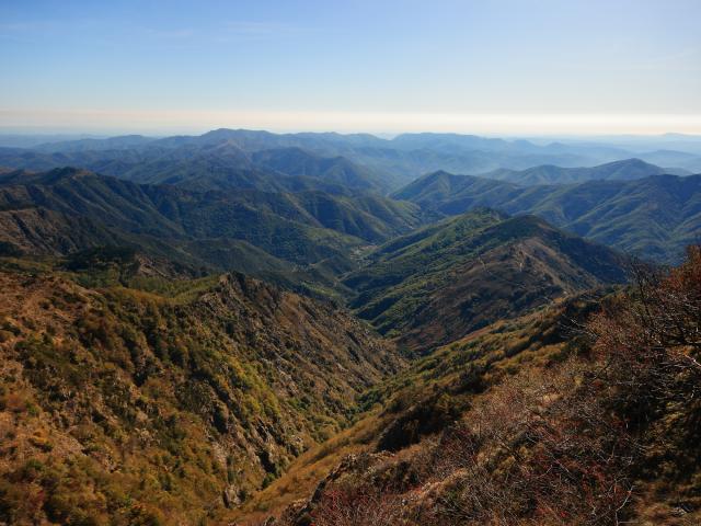
The Cévennes massif straddles the French departments of Lozère, Gard and Ardèche, following on from the Vivarais mountains in Ardèche and Haute-Loire (to the north-east) and the Lacaune and Espinouse mountains, mainly in Hérault(to the south).
The name “Cévennes” generally includes part of the southern plain in the south-eastern foothills, particularly the Alesian basin.
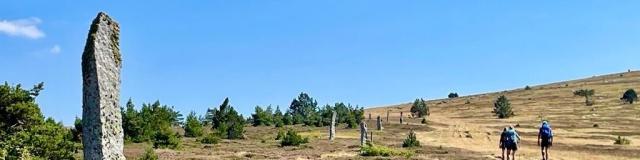
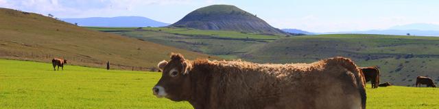
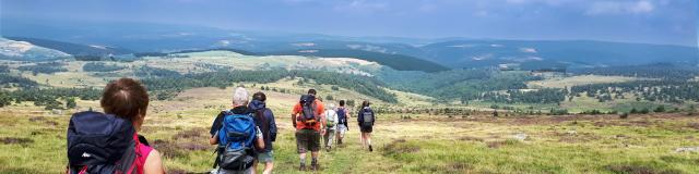
The marked relief of this still particularly isolated region, the harshness of its climate, the specific features of its terroir and the traditions that have developed there over the centuries, make the Cévennes a unique territory in the Languedoc.